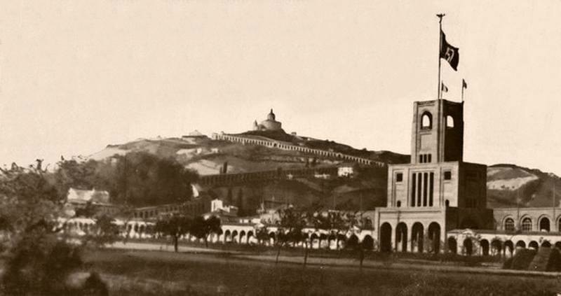
A 42-metre tower,
a century of history
Designed by the Piacenza-born architect Giulio Ulisse Arata, the Marathon Tower has towered over the Renato Dall’Ara Stadium since 29 October 1929, inaugurated on the seventh anniversary of the March on Rome, two years after the stadium it belongs to.
The design of the sports ground, then called the Campo Polisportivo del Fascio, bears the signature of three people. Leandro Arpinati, podestà (mayor) of Bologna, was its political promoter. Umberto Costanzini, head of the technical office of the Casa del Fascio, calculated its reinforced concrete structures. Giulio Ulisse Arata, who was not a party member and is therefore absent from the official documents, designed the Tower: three stacked tiers with clean lines, inspired by the Baths of Caracalla and by the tower of the Stockholm Olympic Stadium.
A building
that grew in stages
The Certosa portico
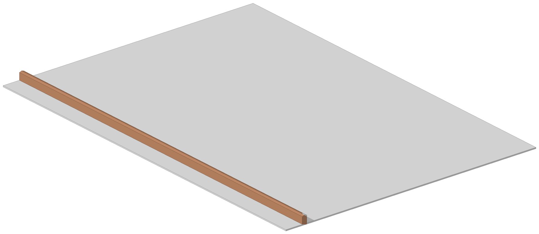
The 19th-century portico of the Certosa already stands on the site. It runs along the side where, a century later, the Tower will rise.
The historic core, in load-bearing masonry
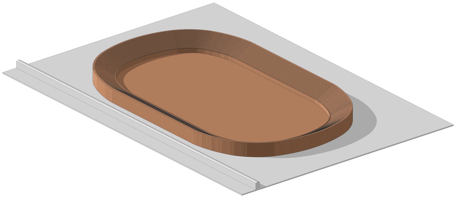
The first core of the stadium is built: the ring of terraces and the pitch.
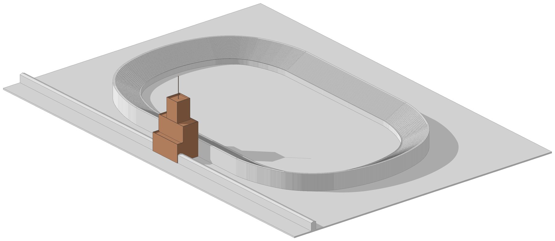
The Marathon Tower completes the structure
Two years after the core, the Tower closes the ring on the portico side.
The extension for Italia ’90
The last major change, for the football World Cup: new stands and roofs. The outline has not changed since.
The four stages, overlaid
- 19th-century portico
- Historic core, 1927
- Marathon Tower, 1929
- Extension, 1990
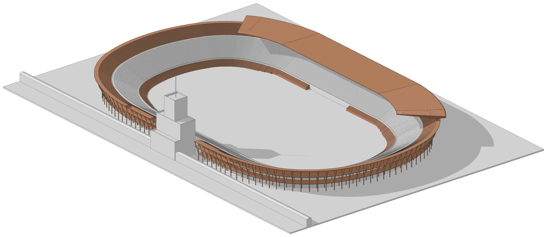
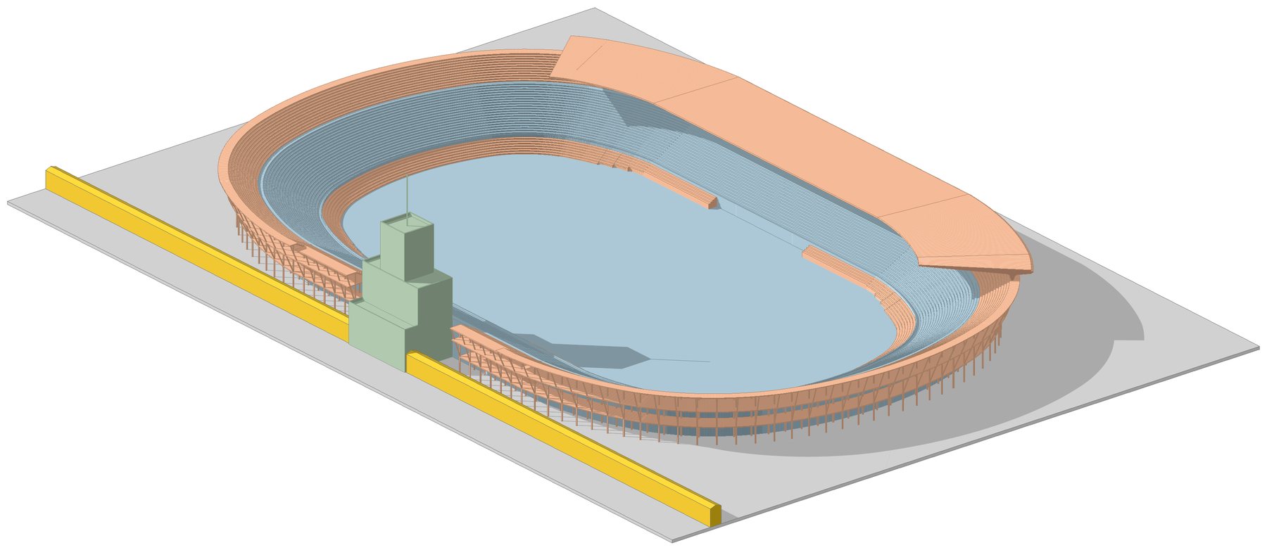
A stadium, a sports block
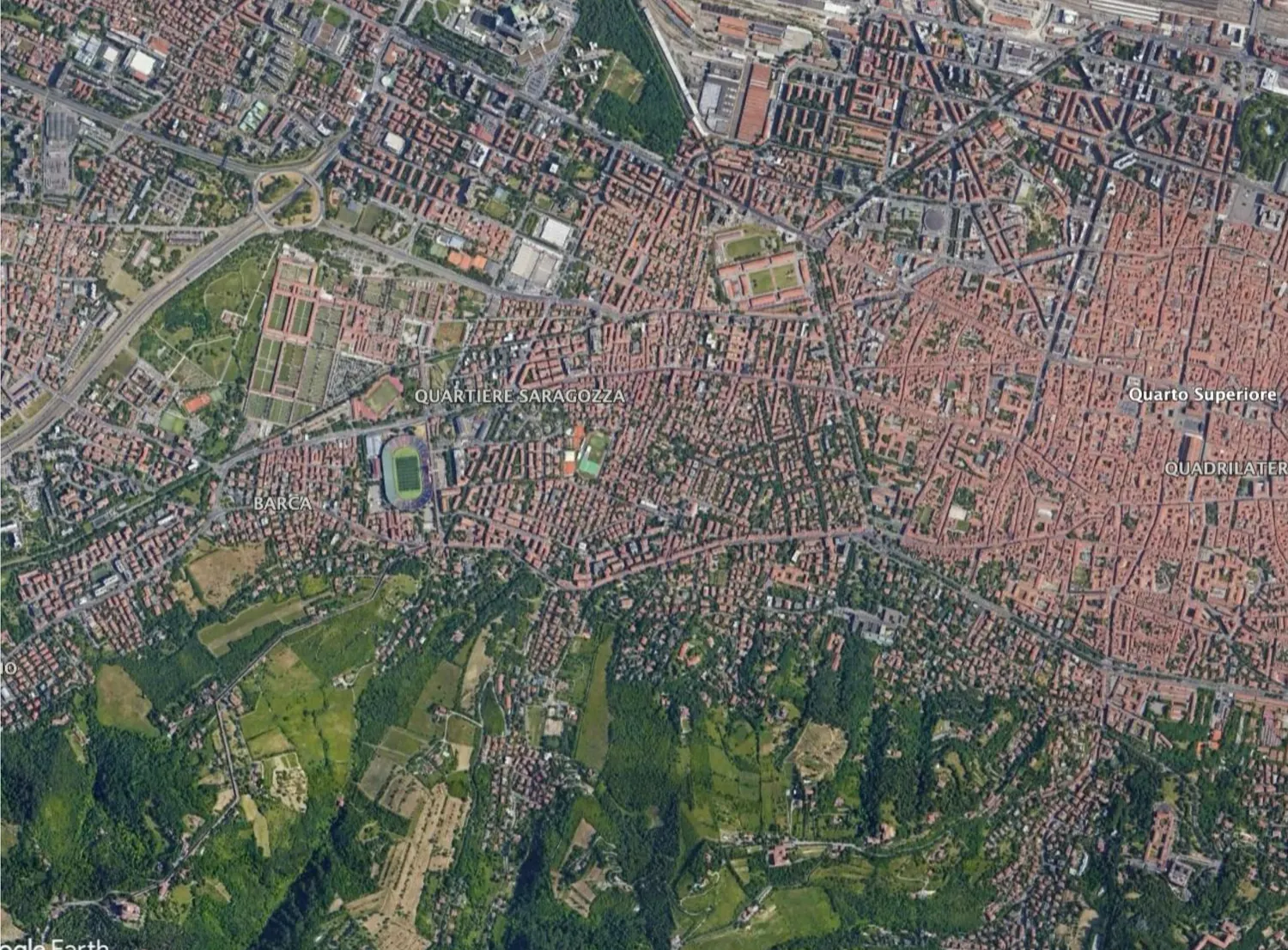
The city
The Dall’Ara stadium lies west of the historic centre, at the foot of the hills.
Satellite images: Google Earth.
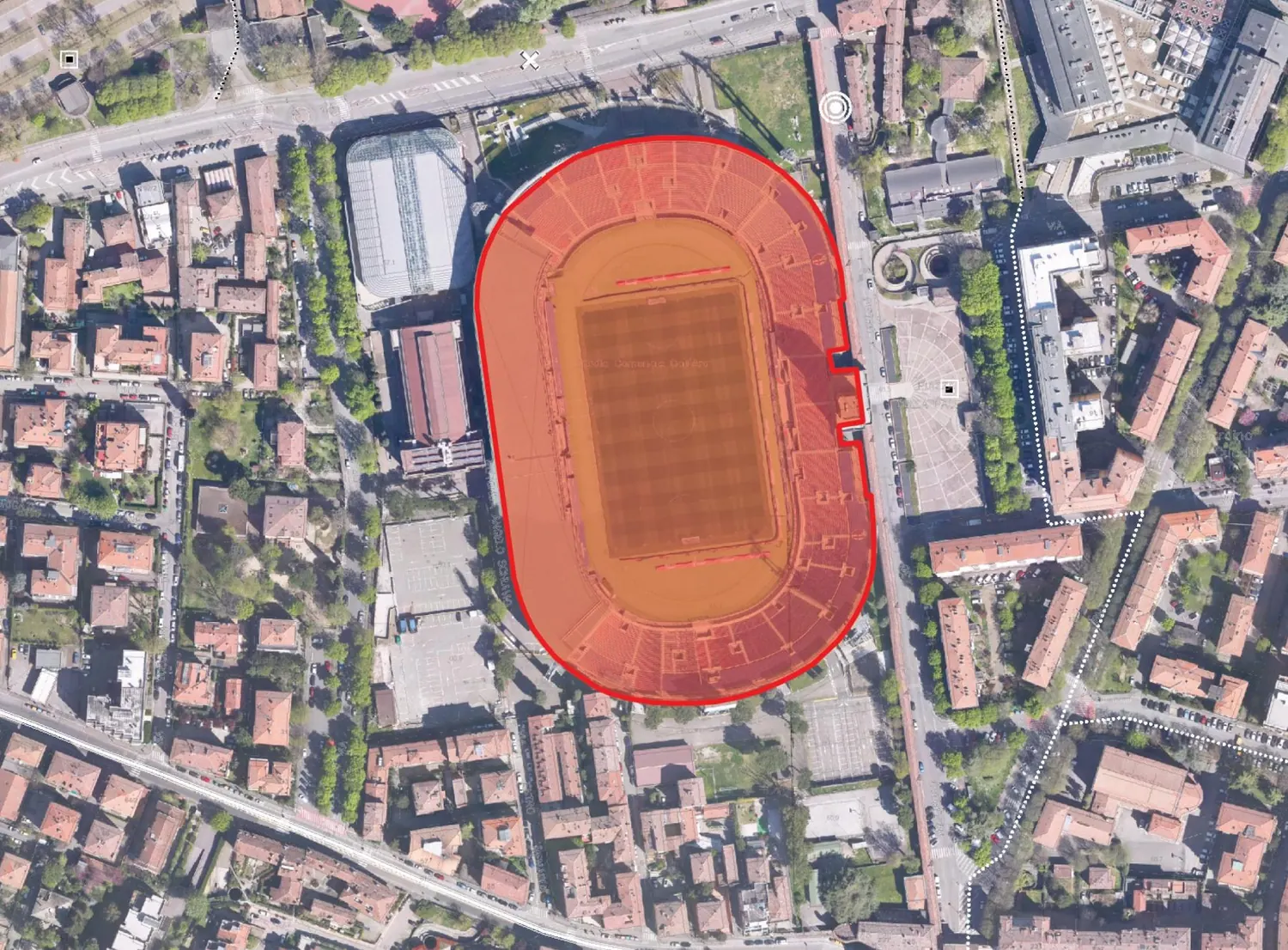
The block
Up close: the stadium, the sports facilities alongside it and the fabric of the surrounding neighbourhood.
Satellite images: Google Earth.
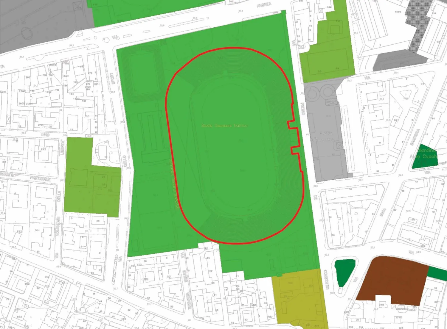
Public facilities and shared spaces
The stadium is part of a block of public facilities: sports grounds, schools, car parks, places of worship.
 Dall’Ara Stadium boundary
- publicprivateAreas for public use, owned by…
 Green spaces

 Sports centres and facilities

 Squares
 Surface car parks
 Underground and multi-storey car parks

 Schools

 Venues for cultural, social and political activities
 Health and social care facilities
 Places of worship (public interest)
 Areas to be acquired through planning equalisation (new facilities)
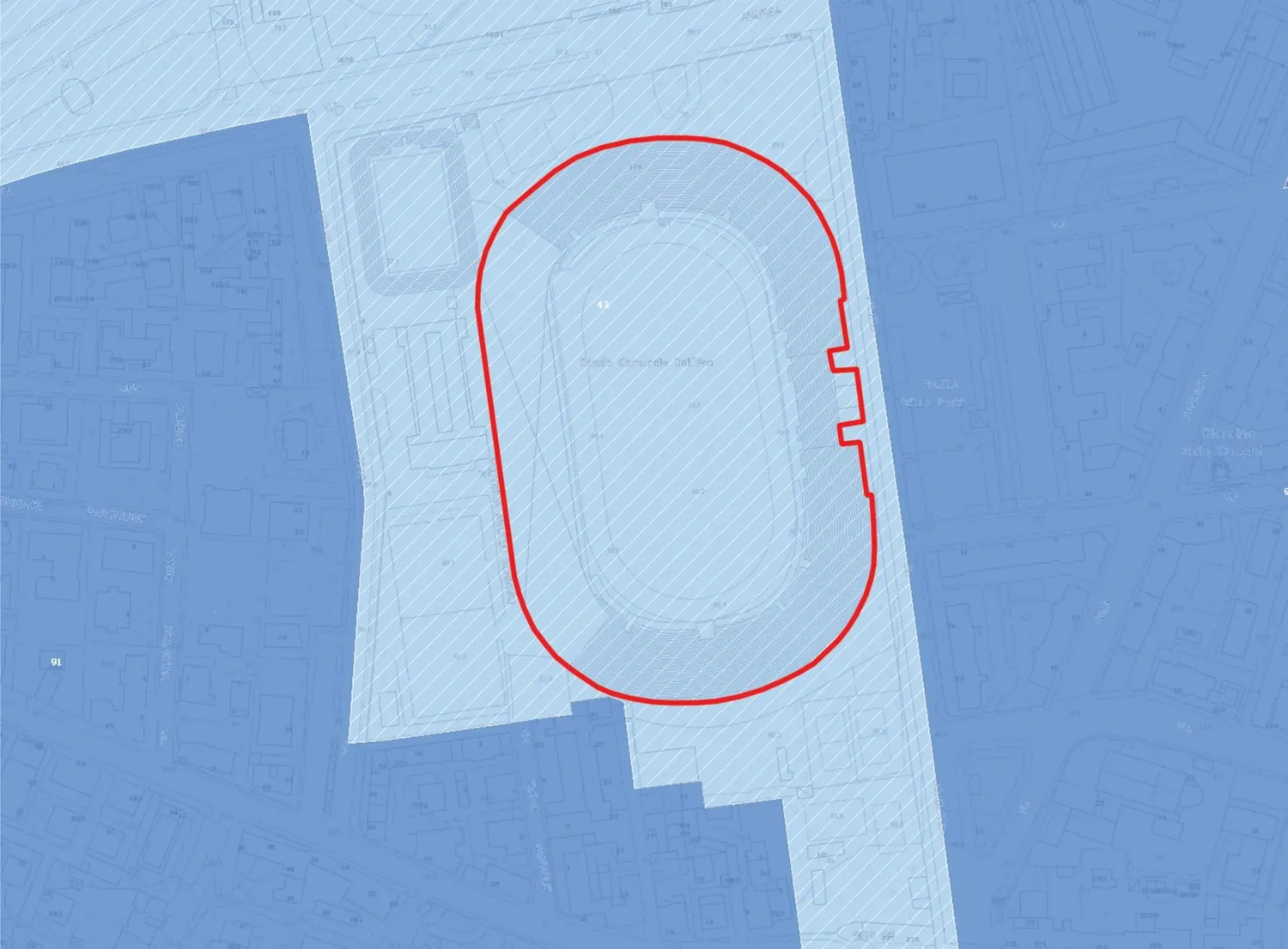
Land classification
In the Municipal Structural Plan the area is a consolidated planned zone, within the structured urban territory.
- Dall’Ara Stadium boundary
- Structured urban territory
 Consolidated zones of widespread upgrading
 Zones being consolidated
 Consolidated planned zones
- Rural territory
 Agricultural zones of landscape value
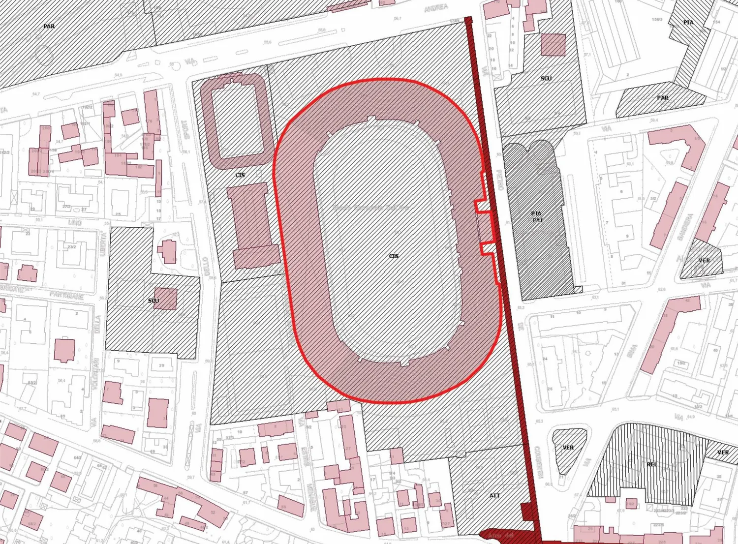
Urban fabric regulations
The buildings of historical, architectural and documentary interest, and the public facilities of the block.
- Dall’Ara Stadium boundary
- Buildings, clusters and open spaces of interest
 Buildings of historical and architectural interest
 Buildings of documentary interest
- Public facilities and shared spaces
 Sports centres and facilities
 Squares
 Underground and multi-storey car parks
 Venues for cultural, social and political activities
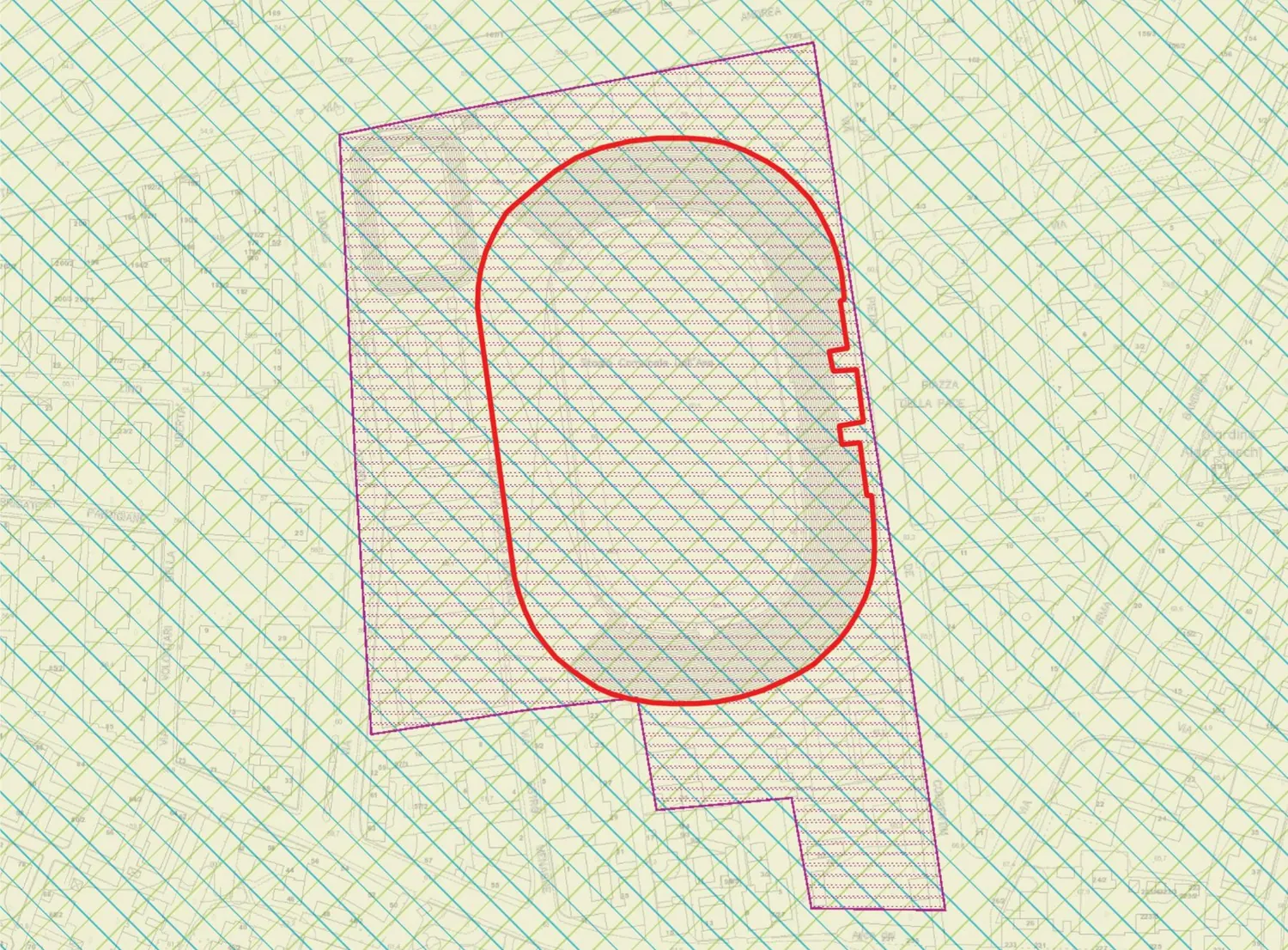
Other boundaries
The limits that frame the site: urbanised area, built-up area and the PTCP boundary.
- Dall’Ara Stadium boundary
 Urbanised area boundary as of 29/06/1989 and 11/02/2003
 Urbanised area boundary
 Built-up area boundary
 Boundary set by the PTCP (provincial plan)
From the 2019 survey,
back through time
For an existing building the process is not as linear as for a new one: you have to retrace its stages. The available drawings were grouped into three periods (the original 1929 design, the strengthening works for the 1990 World Cup, the most recent instrumental survey) and the digitisation started from the latter, the most accurate, working back through time and checking consistency with the historical drawings.
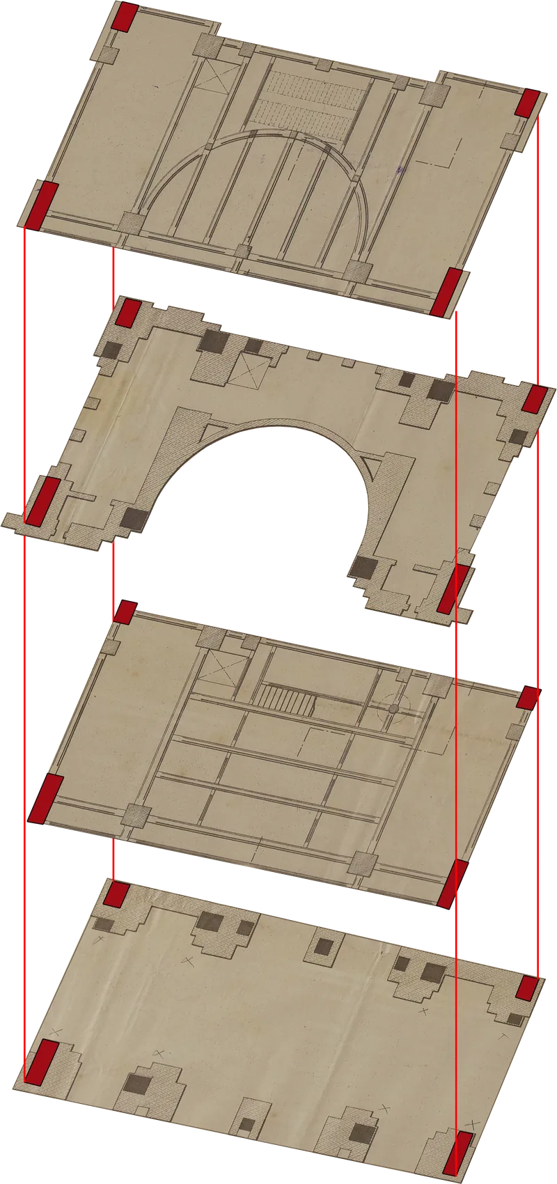
Collecting the drawings and grouping them by period: the original design, the 1990 strengthening works, the 2019 instrumental survey. Then the analysis: dimensions, structural behaviour, overlap between levels, squareness of the walls.
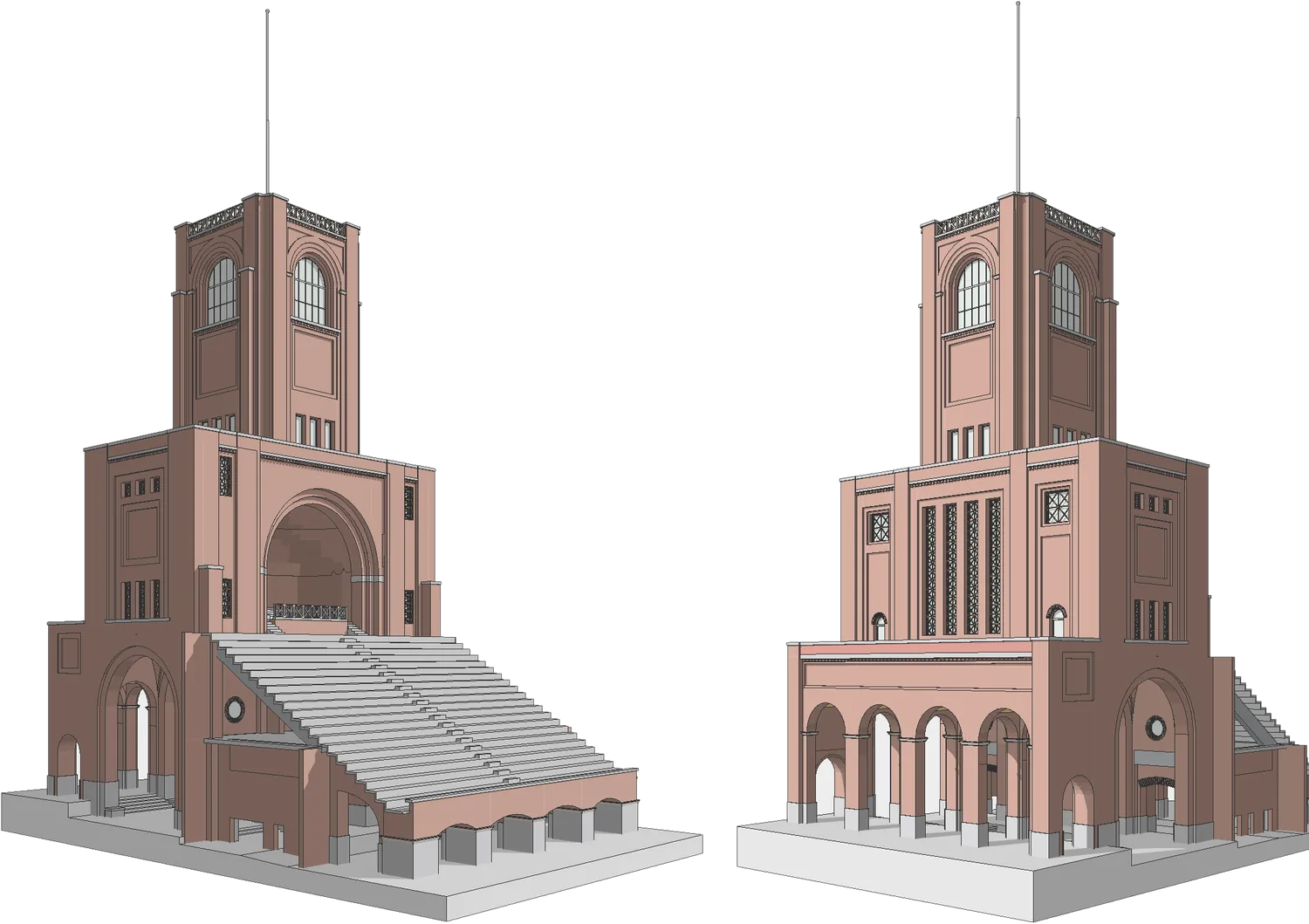
Modelled in ArchiCAD 23: the masonry rebuilt by tracing the survey, then refined with realistic build-ups for walls and floors.
The model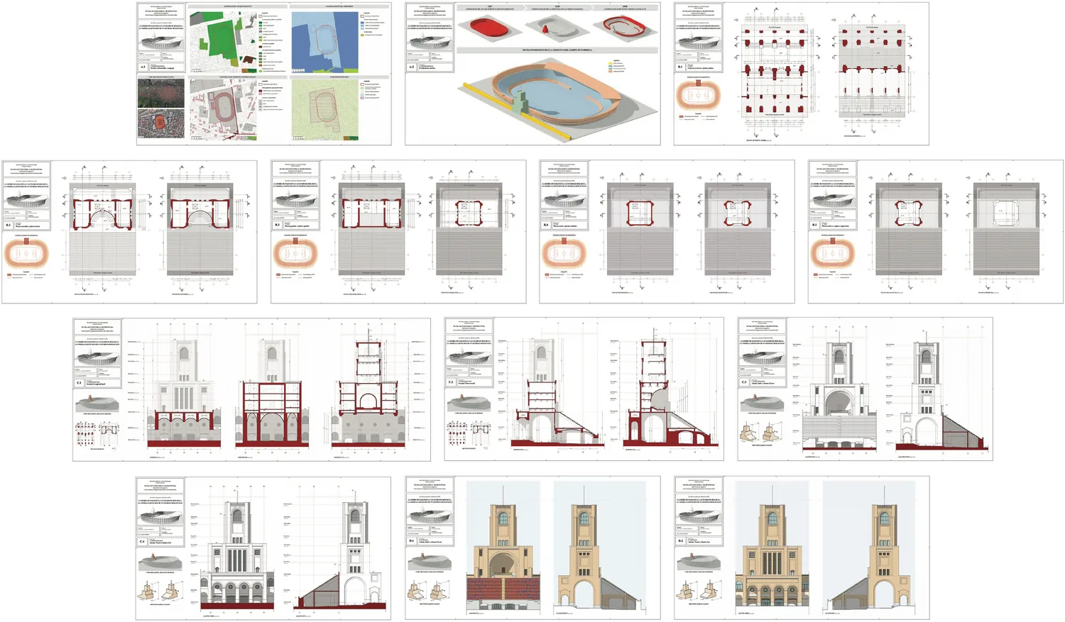
Plans, sections and elevations generated by cutting planes through the same model, with pen sets and layer combinations for each sheet.
The sheetsFrom line to material
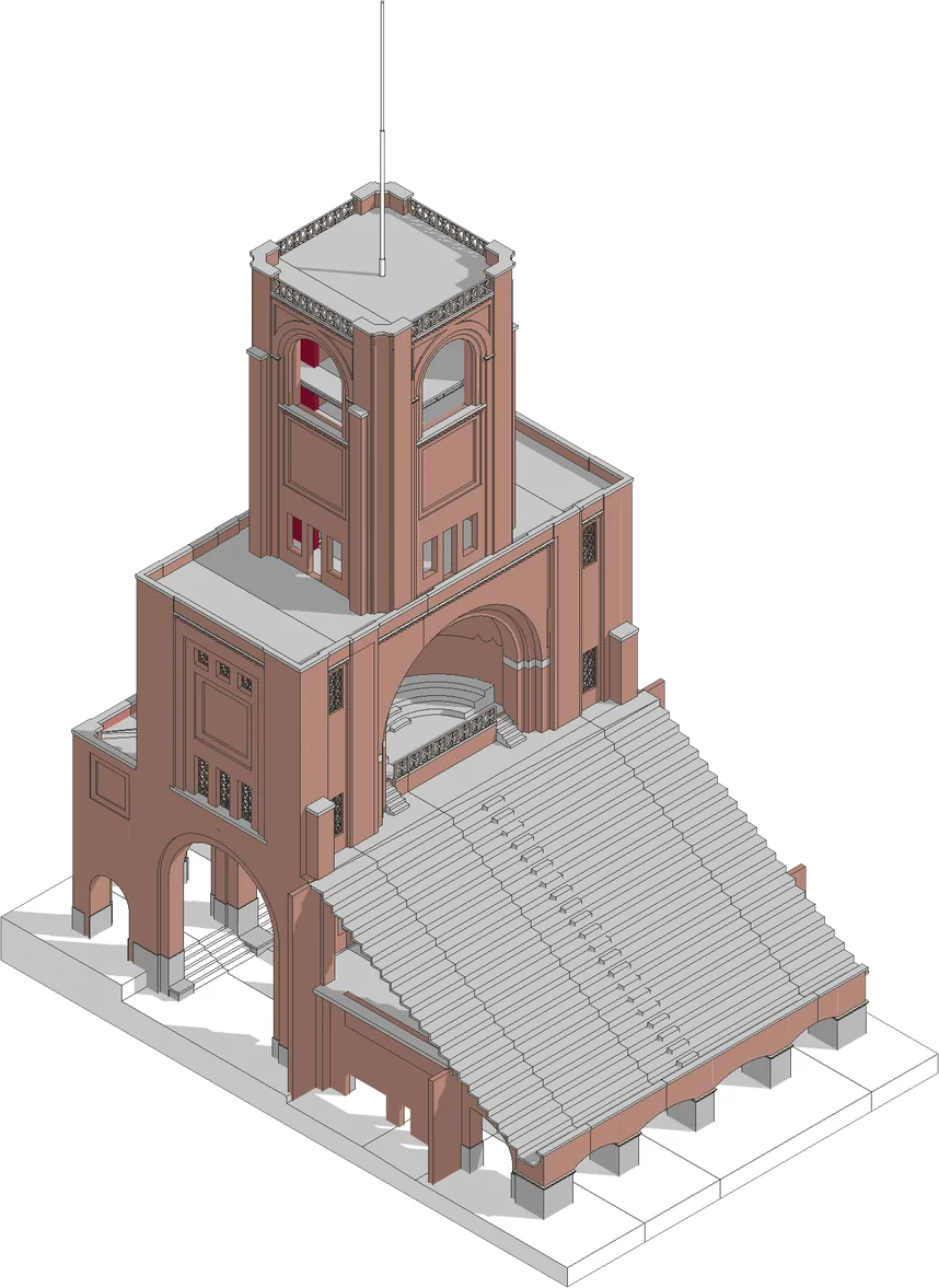
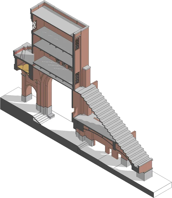
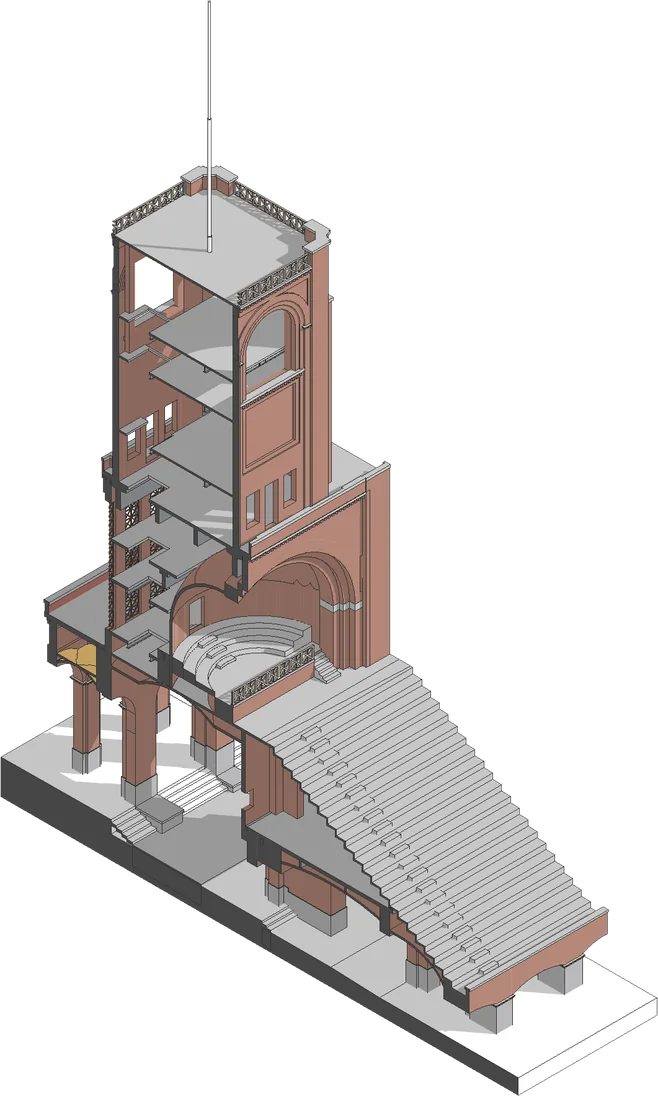
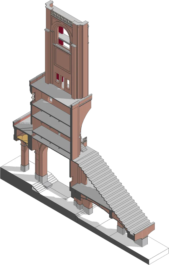
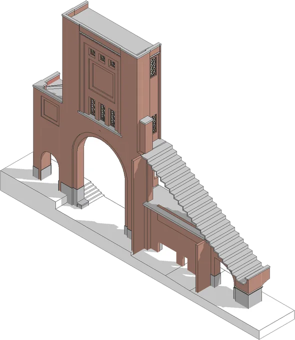
The model, opened up
Four parallel cuts open the Tower along its axis: inside appear the floors, the stairs and the internal levels rebuilt in the model.
You can also drag the tower diagonally.
From line to material
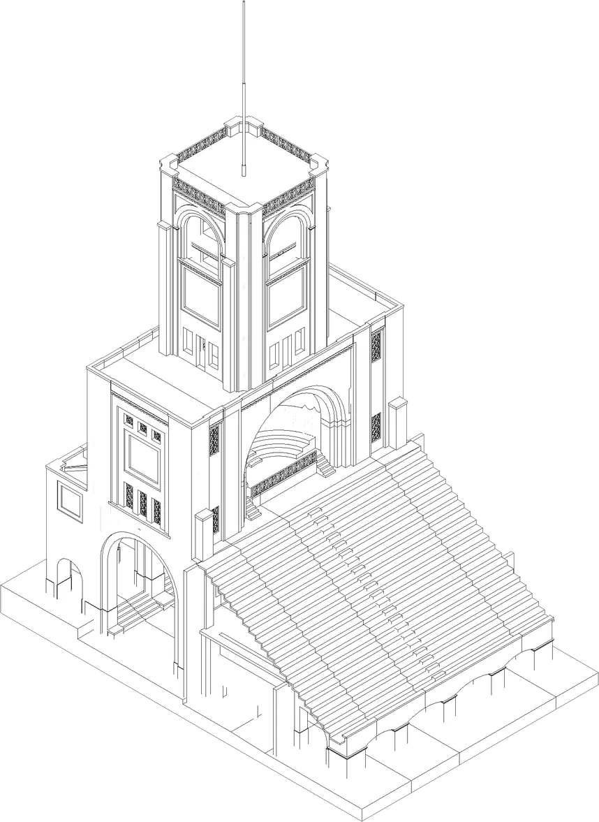
The same view twice: on the left the line drawing, on the right the BIM model with its materials. Drag the handle to move the boundary.
The sheets
A.1
“There is no end,
only a new beginning”
The result is the one I was aiming for. All the essential drawings that make up a set of sheets are there.
It has to be said with the same honesty as in the thesis: the model is complete from an aesthetic point of view, and slightly thin on information. Not everything was easy: the windows and doors, for one, were never dimensioned in the reference drawings, and their size had to be worked out by reasoning. But the process itself is scalable: the time spent drawing by hand shifts entirely to analysing and digitising the model, and once the building is understood, producing the drawings is almost as simple as pressing a button.
Alma Mater Studiorum, University of Bologna
Ravenna Campus
School of Engineering and Architecture
Department of Engineering
Degree programme in Building Process and Systems Engineering
Master’s thesis in BIM Modelling
La Torre di Maratona e lo Stadio di Bologna.
La modellazione BIM di un simbolo bolognese(The Marathon Tower and the Bologna Stadium: BIM modelling of a Bologna landmark)
Candidate
Lorenzo Fava
Supervisor
Prof. Luca Cipriani
Co-supervisor
Prof. Simone Garagnani
Academic year
2020/2021
Sheet title
Complete set, 13 sheets
Context, plans, sections, elevations